
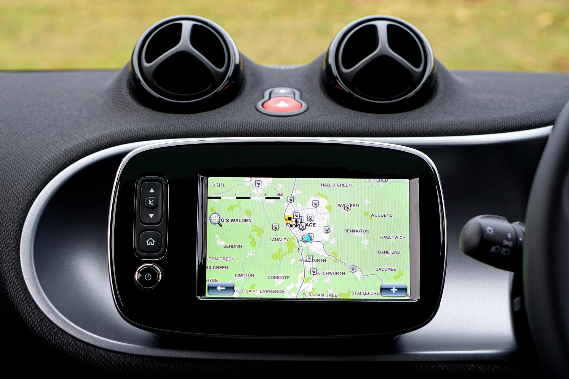

For decades, the Global Positioning System (GPS) has been the cornerstone of navigation and positioning technologies. It powers applications ranging from everyday smartphone navigation to complex military operations. However, while GPS has been revolutionary, its limitations have become increasingly evident in the face of modern technological demands. The world is now moving toward next-generation positioning systems that promise centimeter-level accuracy—a quantum leap over traditional GPS capabilities. This article delves into the advancements driving these systems, their applications, and the profound impact they will have on various industries.
The Limitations of GPS and the Need for Enhanced Accuracy
GPS, despite its widespread adoption, operates within a margin of error that can range from a few meters to several dozen meters under challenging conditions. This level of inaccuracy is acceptable for basic navigation but becomes a significant constraint for applications requiring precision. Industries such as autonomous vehicles, agriculture, robotics, and construction are increasingly demanding positioning systems with centimeter-level accuracy.
One of the primary reasons for GPS inaccuracy is the reliance on satellite signals, which can be disrupted by physical obstacles like buildings, trees, and terrain. Additionally, atmospheric conditions such as ionospheric and tropospheric delays further degrade signal quality. While augmented systems such as Differential GPS (DGPS) and Real-Time Kinematic (RTK) GPS have improved accuracy, they come with limitations of their own, including high costs, reliance on ground-based infrastructure, and restricted coverage.

Moreover, the growing density of urban areas, often referred to as “urban canyons,” poses unique challenges. Skyscrapers and other large structures cause signal reflections and multipath errors, reducing the reliability of GPS. As industries continue to innovate, the need for highly accurate, reliable, and robust positioning systems becomes more urgent. This necessity has driven researchers and engineers to explore alternative and complementary technologies, ushering in a new era of positioning systems. In smaller regions, home builders in Fox Valley, WI rely on precise GPS data to ensure optimal site planning, but next-generation positioning systems will further improve the accuracy of construction layouts and foundation work.
The Technologies Powering Next-Generation Positioning Systems
To achieve centimeter-level accuracy, next-generation positioning systems leverage a combination of advanced technologies and methodologies. These systems go beyond traditional satellite navigation, integrating innovative techniques to overcome GPS’s inherent limitations. The convergence of these technologies is what makes precise positioning a reality.
Multi-Constellation GNSS
Global Navigation Satellite Systems (GNSS) now encompass more than just GPS. Systems like Russia’s GLONASS, the European Union’s Galileo, and China’s BeiDou provide additional satellites and signals, significantly enhancing positioning accuracy. By using multi-constellation GNSS, receivers can access a larger number of satellites, reducing the likelihood of signal blockage and improving precision. These systems also transmit signals on multiple frequencies, enabling corrections for atmospheric distortions and improving resilience against interference. In urban centers like Los Angeles, where large-scale infrastructure projects are constantly underway, general contractors in Los Angeles are increasingly adopting GNSS-enhanced systems to streamline construction workflows and improve project efficiency.
Real-Time Kinematic (RTK) and Precise Point Positioning (PPP)
RTK and PPP are two advanced techniques that refine positioning accuracy to the centimeter level. RTK relies on ground-based reference stations to transmit correction data to mobile receivers in real time, compensating for errors introduced by satellite signals and atmospheric conditions. PPP, on the other hand, uses satellite data and complex algorithms to achieve high precision without the need for extensive ground infrastructure. While RTK is favored for applications requiring instant corrections, PPP is ideal for scenarios where infrastructure is limited or unavailable. Companies specializing in construction consulting services are leveraging these positioning techniques to optimize project planning, equipment deployment, and structural assessments.
Ultra-Wideband (UWB) Technology
Ultra-wideband technology is another promising innovation for precise positioning, particularly in indoor environments where GNSS signals are unreliable. UWB operates on a broad frequency range, enabling devices to determine distances with high accuracy by measuring signal travel time. This technology is gaining traction in industries such as manufacturing, logistics, and healthcare, where indoor tracking is critical.
Visual and Inertial Navigation Systems
In scenarios where satellite signals are unavailable, visual and inertial navigation systems provide robust alternatives. These systems use cameras, LiDAR, and accelerometers to map surroundings and track movement. By combining data from multiple sensors, they create highly accurate positioning solutions that complement or even replace GNSS in certain applications. This approach is particularly valuable for autonomous vehicles and drones operating in complex environments. Even industries unrelated to transportation, such as mold removal services in Atlantic County, NJ, are beginning to utilize highly accurate positioning tools to map and assess indoor air quality conditions more effectively.
Applications of Centimeter-Accurate Positioning
The advent of centimeter-accurate positioning systems is set to transform industries across the board. The potential applications are vast, ranging from revolutionizing transportation to enabling new medical breakthroughs. These systems are not just incremental improvements but fundamental enablers of next-generation technologies.
Autonomous Vehicles
Autonomous vehicles (AVs) rely on precise positioning to navigate safely and efficiently. Centimeter-level accuracy is crucial for lane detection, obstacle avoidance, and smooth integration into existing traffic systems. GPS alone cannot meet these stringent requirements, especially in urban areas with signal disruptions. By leveraging next-generation positioning technologies, AVs can achieve the reliability and precision needed to operate in real-world environments.
Precision Agriculture
Agriculture is another sector poised to benefit significantly from enhanced positioning accuracy. Precision agriculture uses GPS-guided machinery to optimize planting, fertilizing, and harvesting operations. However, traditional GPS limitations often result in inefficiencies. Next-generation systems enable farmers to implement ultra-precise techniques, reducing waste, improving yields, and minimizing environmental impact. Automated tractors, for instance, can operate with centimeter-level precision, ensuring optimal planting density and resource allocation. Even niche industries, like harmonica manufacturing, may eventually benefit from precision navigation systems for automated assembly lines and logistics.
Robotics and Industrial Automation
In robotics and industrial automation, precise positioning is critical for tasks such as pick-and-place operations, assembly line coordination, and warehouse management. Systems like UWB and visual navigation are already being integrated into robotic platforms, enhancing their ability to operate autonomously and interact with complex environments. As factories evolve into smart manufacturing hubs, centimeter-accurate positioning will become a cornerstone of Industry 4.0. Meanwhile, healthcare industries are adopting precision tracking for various applications, including patient monitoring and facility navigation. For example, an OCD treatment center can use real-time positioning to monitor patient activity and improve therapy outcomes by tracking movement patterns within a facility.
Construction and Surveying
The construction and surveying industries have long relied on GPS for tasks such as site mapping and equipment tracking. However, the accuracy limitations of traditional GPS often necessitate manual corrections, leading to increased labor and time costs. Next-generation positioning systems eliminate these inefficiencies, enabling fully automated machinery to perform tasks such as grading and excavation with unprecedented precision. Surveyors can also benefit from faster, more accurate data collection, reducing project timelines and costs. Even industries like tree service in Tampa can leverage these advancements for tasks such as precise tree removal planning, land assessment, and optimizing the placement of heavy equipment in urban environments.
Medical and Healthcare Applications
Even the healthcare sector stands to gain from precise positioning technologies. Applications include real-time tracking of medical equipment within hospitals, enhanced navigation for surgical robots, and the development of wearable devices for patient monitoring. For instance, centimeter-level accuracy can enable assistive devices for visually impaired individuals, providing detailed spatial awareness and navigation assistance. Additionally, the growing demand for delivery efficiency in industries such as pharmaceuticals and perishable goods, including milk chocolate edibles, can benefit from highly accurate positioning systems to optimize logistics, ensuring temperature-sensitive products reach their destination quickly and safely.
The Challenges Ahead
While next-generation positioning systems hold immense promise, they are not without challenges. One significant hurdle is the high cost of deployment and maintenance. Advanced techniques like RTK require extensive ground infrastructure, while multi-constellation GNSS receivers and algorithms demand sophisticated hardware and software. Reducing costs without compromising performance will be crucial for widespread adoption.
Another challenge lies in ensuring reliability and resilience. As these systems become integral to critical applications, they must withstand interference, cyberattacks, and environmental disruptions. Developing robust security measures and fail-safe mechanisms will be vital to maintaining trust and functionality. Even unrelated industries, such as dental practices, are beginning to explore how precision positioning technology can enhance logistics for mobile dental services. A dentist in Staten Island, for instance, may use advanced navigation tools to optimize patient home visits and improve scheduling efficiency.
Regulatory and standardization issues also need to be addressed. The integration of new positioning technologies into existing systems requires harmonized standards and protocols to ensure interoperability. Governments and industry stakeholders must collaborate to establish guidelines that facilitate innovation while safeguarding public interests.
The Future of Positioning: A Connected World
The shift toward centimeter-accurate positioning systems is more than a technological advancement; it is a fundamental transformation that will reshape how we interact with the world. These systems will unlock new levels of efficiency, safety, and innovation across industries, creating opportunities that were previously unimaginable.
As the technology matures, its integration with emerging fields such as 5G, edge computing, and artificial intelligence will further amplify its impact. For example, the combination of precise positioning and 5G networks could enable real-time data exchange for autonomous systems, creating seamless and intelligent environments. Similarly, AI-powered analytics can optimize positioning data, enhancing decision-making processes in applications ranging from urban planning to disaster response. In commercial sectors, businesses are finding innovative uses for precise navigation. A commercial energy broker in Texas, for example, may utilize real-time tracking to optimize energy distribution and enhance grid management strategies.
In the coming years, next-generation positioning systems will not only complement but also transcend traditional GPS. By addressing its limitations and pushing the boundaries of accuracy and reliability, these systems will pave the way for a more connected and efficient world. The possibilities are endless, and the journey has just begun.
